
Travel back to the future or forward to the past at library map exhibit
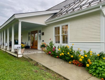
If you would like a glimpse into a time when old Route 7, or Ethan Allen Highway, headed north toward Shelburne turned right and up Church Hill Road and then left at the Charlotte Museum, or a peak at when Greenbush Road was a major thoroughfare, take a gander at the map exhibit at the Charlotte Library.
Jenny Cole of the library and Charlie Russell, chair of the development review board, town moderator and local cartophile (someone who is fascinated with maps) have put together an exhibit of Charlotte maps. The exhibit will continue at least through the end of April.
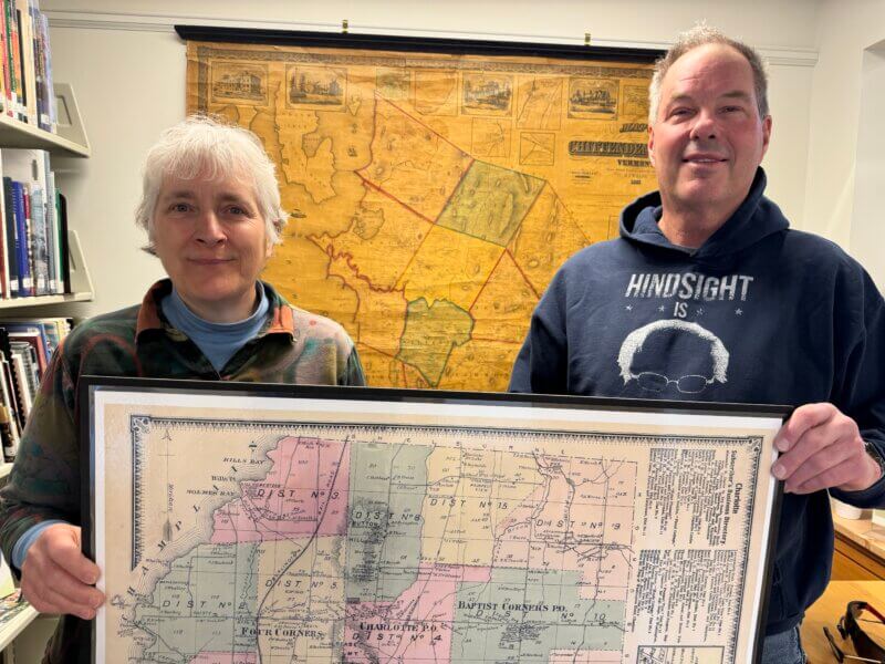
Charlie Russell and Jenny Cole stand with a couple of the maps they have displayed at the Charlotte Library through April.
There are probably 20-30 maps on display, but it’s hard to give an exact number because Cole and Russell are encouraging anyone who has a map they’d like to share to bring it in. If it is one they don’t have that they would like to add to the exhibition, they will see about having it copied. Or maybe you will loan it.
Many of the maps are hanging from the library walls, but there are so many that some are laminated and in piles on library tables to be thumbed through while oohing and ahhing.
A map from the early 1800s has “still” written on it, identifying the location of a place where liquor was distilled when that was legal without a license.
Locations of old cider mills, where minerals could be found and a cheese factory are also shown on some of the maps, a vision from when Charlotte, like the rest of Vermont, earned much of its money from dairy products.
A map from the second half of the 1800s shows post offices in both west and east Charlotte and on Thompson’s Point.
There are maps which attempt to show which lots might have been good for development. It is interesting to see what roads have changed names over the years.
During Charlotte’s history, so many maps have been developed of the town to illustrate specific types of information, Cole said. “What we have here is just a small sampling of what’s available.”
As new maps come in and information is gathered that pertains to them, the exhibit is sort of evolving. Russell is thinking about hanging the future land-use map of Chittenden County the regional planning commission recently released.
Related Stories
Popular Stories
If you enjoy The Charlotte News, please consider making a donation. Your gift will help us produce more stories like this. The majority of our budget comes from charitable contributions. Your gift helps sustain The Charlotte News, keeping it a free service for everyone in town. Thank you.
Andrew Zehner, Board Chair