From summit to lake: A walk from Mt. Philo to town beach
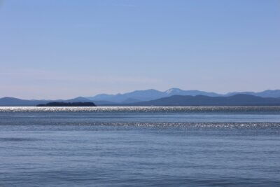
What would it be like to use the Charlotte Town Link Trail to walk from Mt. Philo, the highest point in town (elevation 968 feet), to the Town Beach on the lowest point, the Lake Champlain shoreline (average elevation 95.5 feet)?

As written in the Town Plan, this is the western part of the town’s vision to develop an off-road walking-bicycling-skiing path to connect the East and West Villages (and the Town Beach) by way of Mt. Philo. My wife Lynne and I decided to find out.
The Charlotte Trails Committee is charged with developing and maintaining the town’s trail system. The Charlotte Bicycle and Pedestrian Scoping Study in 2017 laid out possible paths from Mt. Philo to the West Village.
Some of this lies on state land, some on town land and some on easements generously allowed by private property owners. Pieces of this trail are currently in place: Mt Philo to the Champlain Valley Co-Housing and from the Old Lantern Inn up over Barber Hill and on to Ferry Road.
From the summit of Mt. Philo, we could see the entire existing Town Link Trail, including the trailhead lying directly below at the junction of Mt. Philo Road and State Park Road. We walked from the summit down the first-rate trail with sections of well-crafted stone steps to this trailhead, then down along State Park Road. The Melissa and Trevor Mack section travels through a vineyard and a field before arriving at an underpass under Route 7. Delightful murals painted by CVU high school students on the walls of the underpass show the landscape and recreational opportunities along the trail. We passed by Thorpe Pond and the town ballfield, entered an old meadow with abundant wildflowers and ambled through a wooded section to the Co-Housing. At this point, we had traveled 3.5 miles and dropped to 225 feet elevation.
Next, we began a road walk up the Co-Housing access road and then along Greenbush Road to the Old Lantern Inn trailhead. While there are lovely views of farms and mountains from the road, narrow shoulders, vehicle speeds, lack of white lines on the sides and limited sight distances in the rolling terrain make this unappealing for many walkers. The Trails Committee would like to move this road section off Greenbush Road to one of the paths to the east recommended by the 2017 scoping study. There are some existing easements on private property, but the challenge is to link together a continuous path.
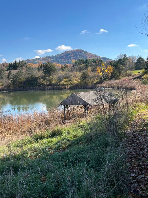
Leaving the trailhead at the Old Lantern Inn, the Town Link Trail overlaps with the Village Loop Trail as it climbs to the top of Barber Hill (384 feet), where there is a bench under a couple of maple trees with a pleasant view of Pease Mountain across the valley. The trail then descends, goes through the woods on the recently built boardwalk over a wetland and ends at Ferry Road.
The Town Link Trail Western End Off-Road Alignment Study in 2021 laid out the vision and possible paths to get from the West Village to the Town Beach. We walked down the south side of Ferry Road to west of the railroad, a risky section because of the narrow shoulders, deep ditches and heavy traffic. This is the section that the Trails Committee is currently focusing on so that walkers and cyclists will be able to cross to the area west of the railroad tracks safely.
Because a continuous series of easements across private properties along the possible off-road paths outlined in the 2021 scoping study is not yet established, we walked on the existing mowed grass trail that goes west along Ferry Road, crossing the recently repaired bridge over a tributary of Thorpe Brook, to the farm at the corner of Ferry and Lake roads, 3.1 miles from Co-Housing.
Next, we walked north along Lake Road 1.9 miles to the Town Beach. One of the highlights of this section is the charming Holmes Creek Covered Bridge, built circa 1870 to accommodate passage of “a load of hay, high and wide.” It is one of three covered bridges in Charlotte and one of the shortest in the state.
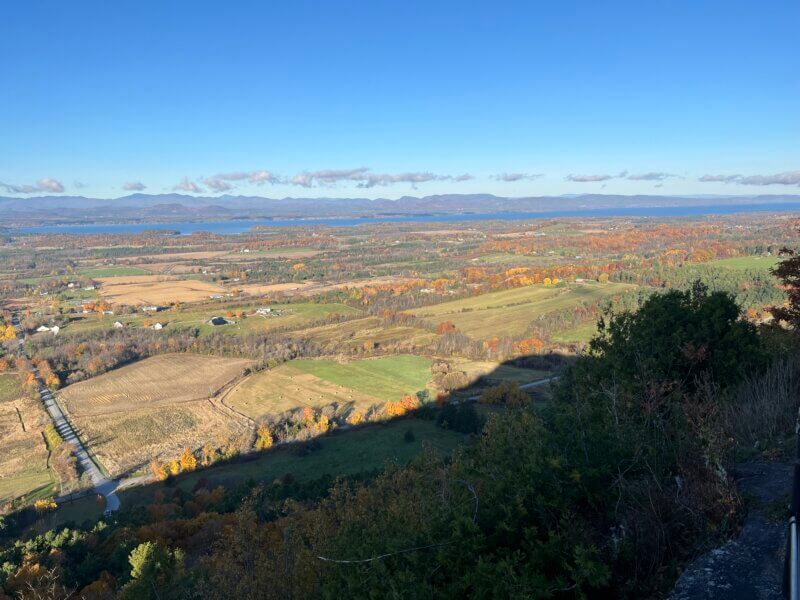
We treasured the rural beauty of Charlotte hills, farms and woods provided by the Town Link Trail. Mt. Philo, with its scenic vistas, hiking and picnicking and the town beach, with its swimming, boating, picnicking and playing on the playground, tennis-pickleball courts or sports fields — and one of the few spots in town where there is public access to Lake Champlain — make attractive bookends. About 5 miles of this 8.5-mile walk are on completed off-road sections. To get this walk off Greenbush and Lake Roads, the selectboard and trails committee are looking at the paths recommended in the two scoping studies and exploring possibilities for trail easements.
To support the Charlotte Trail system, please consider helping the committee on one of its work days, giving a donation during the annual appeal and making it known how you enjoy the trails. Folks wanting to talk about new easement agreements can contact one of the members of the selectboard or the trails committee.
(Stephen Hale is a member of the Charlotte Trails Committee, an ecologist, writer and editor. His article, “An Ocean Walk in the Ocean State,” was published in the summer-fall issue of “Appalachia,” the journal of the Appalachian Mountain Club.)
Related Stories
Popular Stories
If you enjoy The Charlotte News, please consider making a donation. Your gift will help us produce more stories like this. The majority of our budget comes from charitable contributions. Your gift helps sustain The Charlotte News, keeping it a free service for everyone in town. Thank you.
Andrew Zehner, Board Chair


