How Lake Champlain scientists are prepping for future floods
Vermont scientists aren’t sure what could happen in the future as far as flooding goes, but as colder temperatures arrive, they’re continuing to monitor water quality in Lake Champlain and research ways to protect it in anticipation for winter and summer floods like those in the past two years.
Matthew Vaughan, chief scientist at the Lake Champlain Basin Program, said it’s a long-term picture.
Vaughan is in the process of finalizing the organization’s assessment of the 2024 flooding, which he said should be available around December.
Overall, the July 2024 flooding was more destructive downstream while the December 2023 flooding resulted in higher flow because it involved snow and rain, Vaughan said.
“Typically what we see is our highest flows are usually in the springtime because of snowmelt, but what we’re seeing because of climate change is a decrease in our springtime flows and an increase in wintertime flows as more precipitation falling is rain rather than snow,” he said.
“We’re seeing an actual detectable shift in our hydrology,” he said, “how rain is falling, precipitation is falling and how our rivers are flowing.”
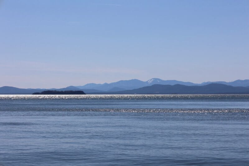
Scientists are researching ways to protect Lake Champlain from increased flooding.
But Vaughan said every year is different and it’s best to be prepared for both an extreme or a typical year.
Vaughan said that 2021 and 2022 were dry years with few big storms, and the nutrient loading into Lake Champlain those years was relatively low compared to others.
When lakes and rivers are overloaded with nutrients or sediments during heavy water events, they become more susceptible to blue-green algae blooms and other issues.
Vaughan advises preparing as early as possible. “The flooding certainly has been a wake-up call for all of our communities, and it’s certainly good to look at your own vulnerability in terms of flooding — what you can do to prepare in terms of preparing your household or property,” he said.
On his end, Vaughan and colleagues are continuing research and projects to help build resilience. They’re putting funding aside to collect water quality samples during, before and after flooding. “So we can say with more certainty what is and is not in the water in terms of contaminants and in the area we’re concerned about,” he said.
The program also has studies underway to determine how much floodplain restoration may be necessary to connect or restore river systems to a more natural state, a way to mitigate the havoc of flooding.
Rebecca Diehl is taking part in this research. Alongside collaborating with the Lake Champlain Basin Program, she is a research faculty at the University of Vermont and looks to understand the processes that support properly functioning floodplains.
“We think about the capacity for the natural features of our landscape: pieces next to the rivers that support flood resilience, improve water quality and provide habitat,” she said.
Healthy floodplains can slow down floodwaters as they move through a watershed as well as capture and extract sediment and phosphorus that has been traveling downstream.
The research focuses on what the outcome could look like if those features are restored or conserved. The researchers are trying to quantify, measure, document and map floodplains to support better management of those systems.
“We’ve got a lot more sediment moving through our river systems during these extreme events and it’s significant,” said Diehl. “Phosphorus is the largest concern, but it is that piece of the puzzle that needs to be more specifically accounted for.”
In her research, Diehl compared a hypothetical small but yearly flood event to the extreme weather events seen in the last two years. The latter, she found, can put down six to seven times more sediment and phosphorus than more commonly occurring floods. “There’s questions of what that balance is, if floodplains can keep pace, can they help put a dent in those elevated loads,” Diehl said.
She is now working with 20 floodplain sites and continues to monitor the spots she’s been looking at since 2019.
“We will get data on any flood that continues to occur in Vermont,” she said. “The idea is that we are seeing a shift towards more frequent major events.”
Diehl and fellow researchers are “just trying to understand what all those little drops, what all those floodplains throughout the basin — how they all add up to contribute to that load.”
Peter Isles is the project leader for the long-term lake and cyanobacteria monitoring program within the Vermont Agency of Natural Resources. The program covers 15 sites on the lake and 21 rivers, all monitored regularly, and people involved have been looking for ways to increase Vermont’s resilience to floods in the long term.
“If we get these big pulses of nutrients building up in lake sediments. that is probably going to increase nutrients over a multiple-years to decades timescale,” Isles said. “It’s going to put a finger on the scale and make it harder to bring down nutrient concentrations in the lake over time.”
Things that reduce erosion during normal storm events, such as planting cover crops, also tend to reduce erosion during major storm events, even if they fail in some spots, he said. “It’s hard to anticipate and take preventative actions because you never know exactly where it could occur and how extreme interventions would have to be to prevent those extreme impacts.”
With future storms, Isles’ team wants to be better about getting data out, taking photos and talking to the public via the press or otherwise. They are incorporating more satellite data into monitoring so they can immediately see when and where lakes are turbid following major weather events, he said. The project is working with the Lake Champlain Basin Program to install better sensors around the watershed and the lake to capture higher-quality images and readings in real time.
“I think increasing the use of high frequency sensors is something I’d like to see,” Isles said, along with increasing satellite data. “I think we are in conversation about other types of monitoring that would be particularly useful in the aftermath of these events.”
Throughout all of his work, Isles stays optimistic. “I would like to avoid the feeling that we’re all staring disaster in the face,” he said.
“It’s just something we need to be concerned about as these things become more common in the future.”
(Via Community News Service, a University of Vermont journalism internship.)
Related Stories
Popular Stories
If you enjoy The Charlotte News, please consider making a donation. Your gift will help us produce more stories like this. The majority of our budget comes from charitable contributions. Your gift helps sustain The Charlotte News, keeping it a free service for everyone in town. Thank you.
Andrew Zehner, Board Chair


